Ahuas | |
|---|---|
Municipality | |
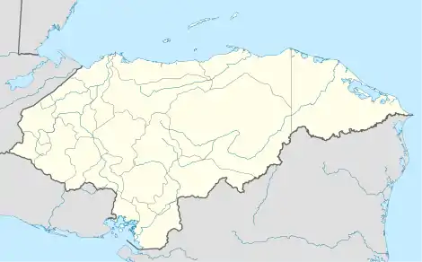 Ahuas Location in Honduras | |
| Coordinates: 15°29′N 84°20′W / 15.483°N 84.333°W | |
| Country | Honduras |
| Department | Gracias a Dios |
| Villages | 6 |
| Area | |
| • Total | 1,800.63 km2 (695.23 sq mi) |
| Elevation | 56 m (184 ft) |
| Population (2015) | |
| • Total | 8,387 |
| • Density | 4.7/km2 (12/sq mi) |
| Time zone | UTC-6 (Central America) |
Ahuas (Spanish pronunciation: [ˈawas]) is a municipality in the Honduran department of Gracias a Dios.
It is served by Ahuas Airport.
Demographics
At the time of the 2013 Honduras census, Ahuas municipality had a population of 8,095. Of these, 94.46% were Indigenous (94.05% Miskito), 4.77% Mestizo, 0.42% Afro-Honduran or Black, 0.19% White and 0.16% others.[1]
References
Capital: Puerto Lempira | ||
| Municipalities | 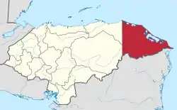 | |
This article is issued from Wikipedia. The text is licensed under Creative Commons - Attribution - Sharealike. Additional terms may apply for the media files.