Agugliano | |
|---|---|
| Comune di Agugliano | |
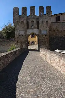 Castel d'Emilio | |
Location of Agugliano | |
 Agugliano Location of Agugliano in Italy 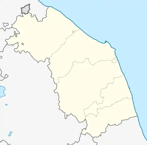 Agugliano Agugliano (Marche) | |
| Coordinates: 43°33′N 13°23′E / 43.550°N 13.383°E | |
| Country | Italy |
| Region | Marche |
| Province | Province of Ancona (AN) |
| Frazioni | Castel D'Emilio, la Chiusa, il Molino |
| Government | |
| • Mayor | Thomas Bracon |
| Area | |
| • Total | 21.89 km2 (8.45 sq mi) |
| Elevation | 203 m (666 ft) |
| Population (30 September 2017)[2] | |
| • Total | 4,821 |
| • Density | 220/km2 (570/sq mi) |
| Demonym | Aguglianesi |
| Time zone | UTC+1 (CET) |
| • Summer (DST) | UTC+2 (CEST) |
| Postal code | 60020 |
| Dialing code | 071 |
| Website | Official website |
Agugliano is a comune (municipality) in the Province of Ancona in the Italian region Marche, located about 13 kilometres (8 mi) southwest of Ancona.
Agugliano borders the following municipalities: Ancona, Camerata Picena, Jesi, Polverigi.
References
- ↑ "Superficie di Comuni Province e Regioni italiane al 9 ottobre 2011". Italian National Institute of Statistics. Retrieved 16 March 2019.
- ↑ All demographics and other statistics: Italian statistical institute Istat.
External links
This article is issued from Wikipedia. The text is licensed under Creative Commons - Attribution - Sharealike. Additional terms may apply for the media files.