Adyar | |
|---|---|
town | |
 View over Adyar, looking towards Mangalore from Adyar Falls | |
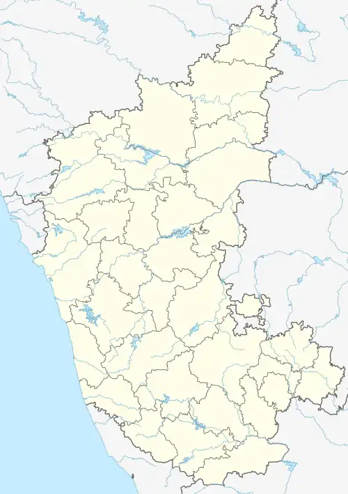
 Adyar Location in Karnataka, India  Adyar Adyar (India) | |
| Coordinates: 12°52′N 74°55′E / 12.87°N 74.91°E | |
| Country | |
| State | Karnataka |
| Talukas | Mangalore |
| Population (2001) | |
| • Total | 6,501 |
| Time zone | UTC+5:30 (IST) |
| ISO 3166 code | IN-KA |
| Vehicle registration | KA |
Geography
Adyar is situated on the north bank of the Netravati River approximately 10km to the east of central Mangalore.
Adyar is north-west of the Pavoor Uliya island, which it is connected to via a footbridge. The footbridge is closed during monsoon season. Other local sites of interest include the Adyar Falls, a series of waterfalls.
The 520m Harekala-Adyar road bridge was completed in April 2023, connecting Adyar to Harekala on the south side of the Netravati River and providing a source of water supply to the Mangalore region.[1]
National Highway 73 runs through Adyar.

Demographics
As of 2001 India census,[2] Adyar had a population of 6501. Males constitute 50% of the population and females 50%. Adyar has an average literacy rate of 73%, higher than the national average of 59.5%, with 78% of males and 68% of females literate. 13% of the population is under 6 years of age.
References
- ↑ "With Harekala-Adyar dam-cum-bridge complete, people demand its opening". The Hindu. Retrieved 6 January 2024.
- ↑ "Census of India 2001: Data from the 2001 Census, including cities, villages and towns (Provisional)". Census Commission of India. Archived from the original on 16 June 2004. Retrieved 1 November 2008.