Achères | |
|---|---|
 Coat of arms | |
Location of Achères | |
 Achères 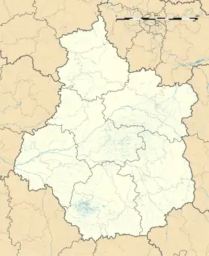 Achères | |
| Coordinates: 47°16′44″N 2°26′58″E / 47.2789°N 2.4494°E | |
| Country | France |
| Region | Centre-Val de Loire |
| Department | Cher |
| Arrondissement | Bourges |
| Canton | Saint-Martin-d'Auxigny |
| Intercommunality | Terres du Haut Berry |
| Government | |
| • Mayor (2020–2026) | André Jouanin[1] |
| Area 1 | 12.75 km2 (4.92 sq mi) |
| Population | 348 |
| • Density | 27/km2 (71/sq mi) |
| Time zone | UTC+01:00 (CET) |
| • Summer (DST) | UTC+02:00 (CEST) |
| INSEE/Postal code | 18001 /18250 |
| Elevation | 211–317 m (692–1,040 ft) (avg. 231 m or 758 ft) |
| 1 French Land Register data, which excludes lakes, ponds, glaciers > 1 km2 (0.386 sq mi or 247 acres) and river estuaries. | |
Achères (French pronunciation: [aʃɛʁ] ⓘ) is a commune in the Cher department in the Centre-Val de Loire region of France.
Geography
A farming area comprising the village and a hamlet situated some 14 miles (23 km) north of Bourges, near the junction of the D20 and the D940 roads.
Population
| Year | Pop. | ±% p.a. |
|---|---|---|
| 1968 | 265 | — |
| 1975 | 227 | −2.19% |
| 1982 | 273 | +2.67% |
| 1990 | 335 | +2.59% |
| 1999 | 354 | +0.61% |
| 2007 | 352 | −0.07% |
| 2012 | 378 | +1.44% |
| 2017 | 380 | +0.11% |
| Source: INSEE[3] | ||
Places of interest
- The church of Notre-Dame, dating from the twelfth century.
See also
References
- ↑ "Répertoire national des élus: les maires". data.gouv.fr, Plateforme ouverte des données publiques françaises (in French). 2 December 2020.
- ↑ "Populations légales 2021". The National Institute of Statistics and Economic Studies. 28 December 2023.
- ↑ Population en historique depuis 1968, INSEE
External links
Wikimedia Commons has media related to Achères (Cher).
This article is issued from Wikipedia. The text is licensed under Creative Commons - Attribution - Sharealike. Additional terms may apply for the media files.