| Abbotts Barton | |
|---|---|
 Charles Close | |
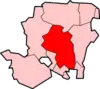
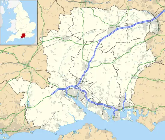 Abbotts Barton Location within Hampshire | |
| OS grid reference | SU484308 |
| District | |
| Shire county | |
| Region | |
| Country | England |
| Sovereign state | United Kingdom |
| Post town | WINCHESTER |
| Postcode district | SO23 |
| Dialling code | 01962 |
| Police | Hampshire and Isle of Wight |
| Fire | Hampshire and Isle of Wight |
| Ambulance | South Central |
| UK Parliament | |
Abbotts Barton is a suburb of Winchester in Hampshire, England.[1] The settlement is located approximately 0.8 miles (1.3 km) north-east of the city centre.
In 1887, John Bartholomew's Gazetteer of the British Isles described Abbots Barton as:
Abbots Barton, seat, near Winchester, Hants.[2]
References
- ↑ Ordnance Survey: Landranger map sheet 185 Winchester & Basingstoke (Andover & Romsey) (Map). Ordnance Survey. 2013. ISBN 9780319228845.
- ↑ "A Vision of Britain Through Time: Abbotts Barton". GB Historical GIS/University of Portsmouth. Retrieved 27 January 2016.
External links
![]() Media related to Abbotts Barton at Wikimedia Commons
Media related to Abbotts Barton at Wikimedia Commons
This article is issued from Wikipedia. The text is licensed under Creative Commons - Attribution - Sharealike. Additional terms may apply for the media files.