Újezdeček | |
|---|---|
.jpg.webp) Memorial to victims of World Wars | |
 Flag  Coat of arms | |
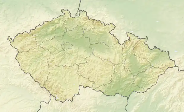 Újezdeček Location in the Czech Republic | |
| Coordinates: 50°38′45″N 13°47′23″E / 50.64583°N 13.78972°E | |
| Country | |
| Region | Ústí nad Labem |
| District | Teplice |
| First mentioned | 1398 |
| Area | |
| • Total | 1.77 km2 (0.68 sq mi) |
| Elevation | 243 m (797 ft) |
| Population (2023-01-01)[1] | |
| • Total | 851 |
| • Density | 480/km2 (1,200/sq mi) |
| Time zone | UTC+1 (CET) |
| • Summer (DST) | UTC+2 (CEST) |
| Postal code | 415 01 |
| Website | www |
Újezdeček (until 1948 Malý Újezd; German: Klein Augezd) is a municipality and village in Teplice District in the Ústí nad Labem Region of the Czech Republic. It has about 900 inhabitants.
Újezdeček lies approximately 3 kilometres (2 mi) north-west of Teplice, 18 km (11 mi) west of Ústí nad Labem, and 77 km (48 mi) north-west of Prague.
References
Wikimedia Commons has media related to Újezdeček.
This article is issued from Wikipedia. The text is licensed under Creative Commons - Attribution - Sharealike. Additional terms may apply for the media files.