Sant'Alessio con Vialone | |
|---|---|
| Comune di Sant'Alessio con Vialone | |
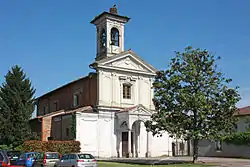 Parish church. | |
 Coat of arms | |
Location of Sant'Alessio con Vialone | |
 Sant'Alessio con Vialone Location of Sant'Alessio con Vialone in Italy 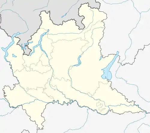 Sant'Alessio con Vialone Sant'Alessio con Vialone (Lombardy) | |
| Coordinates: 45°13′N 9°15′E / 45.217°N 9.250°E | |
| Country | Italy |
| Region | Lombardy |
| Province | Pavia (PV) |
| Frazioni | Ca' de' Zetti, Vialone |
| Government | |
| • Mayor | Alberto Rusmini |
| Area | |
| • Total | 6.56 km2 (2.53 sq mi) |
| Elevation | 83 m (272 ft) |
| Population | |
| • Total | 951 |
| • Density | 140/km2 (380/sq mi) |
| Demonym | Santalessini |
| Time zone | UTC+1 (CET) |
| • Summer (DST) | UTC+2 (CEST) |
| Postal code | 27016 |
| Dialing code | 0382 |
| Website | Official website |
Sant'Alessio con Vialone is a comune (municipality) in the Province of Pavia in the Italian region Lombardy, located about 30 km south of Milan and about 9 km northeast of Pavia.
Sights include the eponymous castle and the annexed natural preserve.
References
- ↑ "Superficie di Comuni Province e Regioni italiane al 9 ottobre 2011". Italian National Institute of Statistics. Retrieved 16 March 2019.
- ↑ All demographics and other statistics: Italian statistical institute Istat.
- ↑ "Popolazione Residente al 1° Gennaio 2018". Italian National Institute of Statistics. Retrieved 16 March 2019.
External links
This article is issued from Wikipedia. The text is licensed under Creative Commons - Attribution - Sharealike. Additional terms may apply for the media files.