Rielasingen-Worblingen | |
|---|---|
 Coat of arms | |
Location of Rielasingen-Worblingen within Konstanz district  | |
 Rielasingen-Worblingen 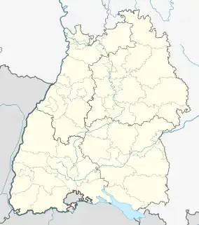 Rielasingen-Worblingen | |
| Coordinates: 47°43′53″N 8°50′19″E / 47.73139°N 8.83861°E | |
| Country | Germany |
| State | Baden-Württemberg |
| Admin. region | Freiburg |
| District | Konstanz |
| Government | |
| • Mayor (2015–23) | Ralf Baumert[1] (SPD) |
| Area | |
| • Total | 18.57 km2 (7.17 sq mi) |
| Elevation | 417 m (1,368 ft) |
| Population (2021-12-31)[2] | |
| • Total | 11,995 |
| • Density | 650/km2 (1,700/sq mi) |
| Time zone | UTC+01:00 (CET) |
| • Summer (DST) | UTC+02:00 (CEST) |
| Postal codes | 78239 |
| Dialling codes | 07731 |
| Vehicle registration | KN |
| Website | www.rielasingen-worblingen.de |
Rielasingen-Worblingen is a municipality in the district of Konstanz, in Baden-Württemberg, Germany. It is situated on the border with Switzerland, 4 km south of Singen, and 20 km east of Schaffhausen. This town is twinned with the French town of Nogent-sur-Seine in the Aube department and the Italian city of Ardea.
Rielasingen-Worblingen has five kindergartens, three elementary schools and two secondary schools.
References
- ↑ Aktuelle Wahlergebnisse, Staatsanzeiger, accessed 13 September 2021.
- ↑ "Bevölkerung nach Nationalität und Geschlecht am 31. Dezember 2021" [Population by nationality and sex as of December 31, 2021] (CSV) (in German). Statistisches Landesamt Baden-Württemberg. June 2022.
Towns and municipalities in Konstanz (district) | ||
|---|---|---|
Coat of arms of Landkreis Konstanz | ||
This article is issued from Wikipedia. The text is licensed under Creative Commons - Attribution - Sharealike. Additional terms may apply for the media files.