| Ranfjorden | |
|---|---|
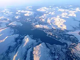 View of the fjord | |
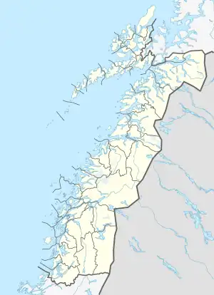 Ranfjorden Location of the fjord 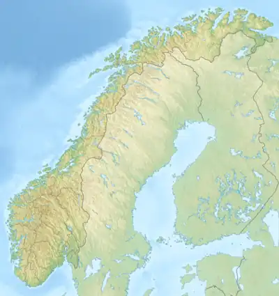 Ranfjorden Ranfjorden (Norway) | |
| Location | Nordland county, Norway |
| Coordinates | 66°08′08″N 12°50′32″E / 66.1356°N 12.8422°E |
| Type | Fjord |
| Basin countries | Norway |
| Max. length | 68 kilometres (42 mi) |
| Max. depth | 525 metres (1,722 ft) |
The Ranfjorden (or just Ranfjord) is a fjord in the Helgeland district of Nordland county, Norway. The largest part of the fjord is in the municipality of Rana, but the fjord also passes through the municipalities of Hemnes, Vefsn, Leirfjord, Nesna, and Dønna. The Ranelva river meets the Ranfjord in at the town of Mo i Rana at the innermost part of the fjord. It then flows to the west for about 68 kilometres (42 mi) to where it meets the sea along the border of Dønna and Nesna municipalities.
The inner part of the fjord is lush, forested, and more heavily populated. The western parts of the fjord are narrow with steep sides and that area has few inhabitants. There is a narrow strait that connects to the Sørfjorden and Elsfjorden at the village of Hemnesberget. Two large rivers flow into the fjord: Ranelva and Røssåga. The European route E6 highway follows the part of the southern coast of the fjord on its way to Mo i Rana.[1]
Gallery
 The mouth of Ranfjord near Nesna
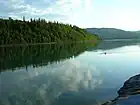 Near Ytteren in Rana
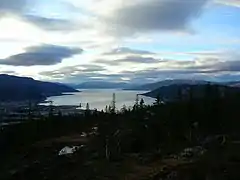 Kvitbergan, Ranfjorden in the background
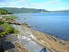 View between Båsmoen and Alteren in Rana
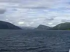 View towards east into Ranfjord
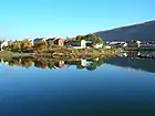 View towards the old part of the city sentre
References
- ↑ Store norske leksikon. "Ranfjorden" (in Norwegian). Retrieved 2011-12-05.