Narowlya
| |
|---|---|
.jpg.webp) | |
 Flag  Coat of arms | |
 Narowlya | |
| Coordinates: 51°53′21″N 29°57′52″E / 51.88917°N 29.96444°E | |
| Country | Belarus |
| Region | Gomel Region |
| District | Narowlya District |
| Population (2023)[1] | |
| • Total | 8,352 |
| Time zone | UTC+3 (MSK) |
| Postal code | 247800 |
| Area code | +375 2355 |
| License plate | 3 |
Narowlya[lower-alpha 1] (Belarusian: Нароўля, romanized: Naroŭlia;[lower-alpha 2] Russian: Наровля, romanized: Narovlya; Polish: Narowla) is a town in Gomel Region, Belarus, and the administrative center of Narowlya District.[1] As of 2023, it has a population of 8,352.[1]
In 1986, the city experienced heavy radioactive fallout from the Chernobyl accident.[2] Today it is located on the border of Polesie State Radioecological Reserve.
Gallery
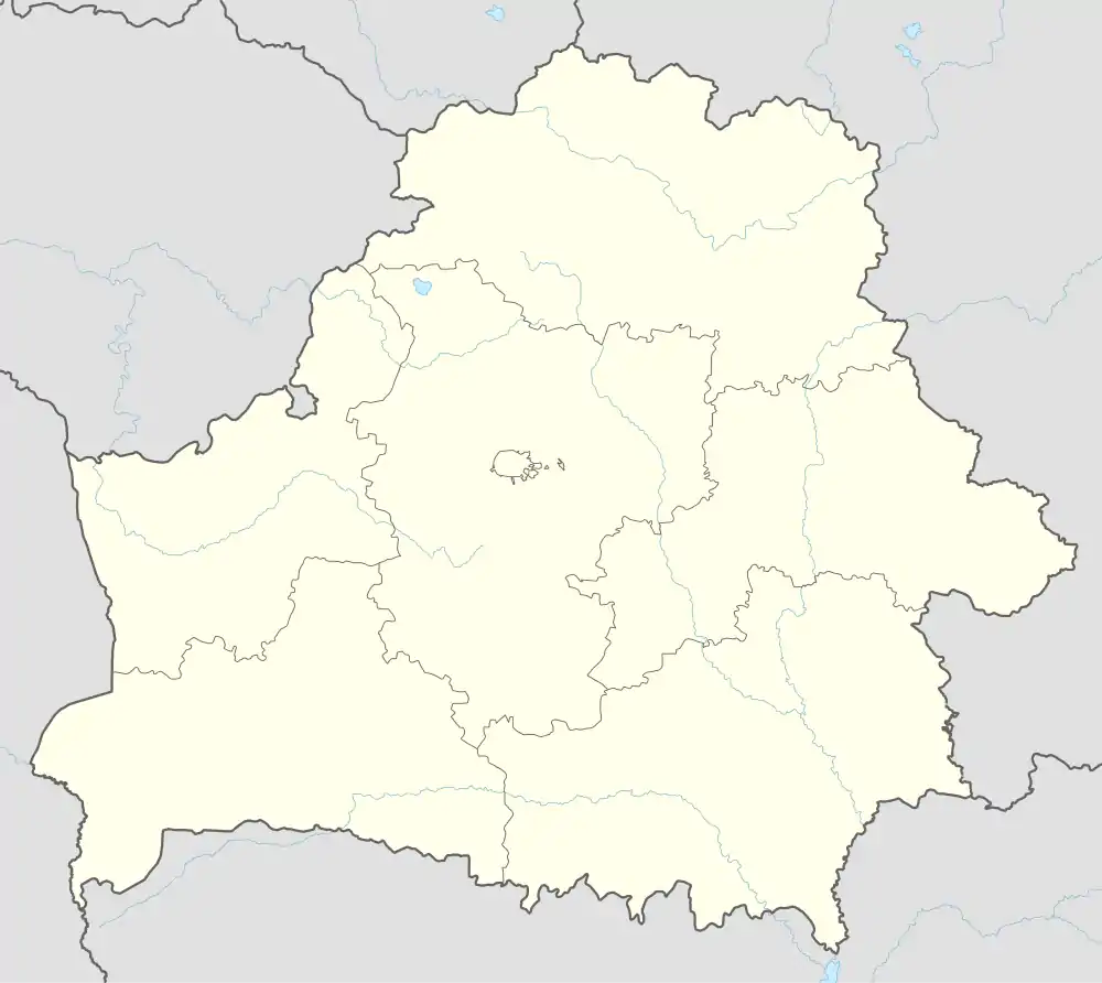
 Wooden synagogue before 1906.
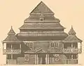
 Painting of around 1927 by Aron Kascialianski (1891-1934)
.jpg.webp) Synagogue in 1916
Synagogue in 1916
Notes
References
- 1 2 3 "Численность населения на 1 января 2023 г. и среднегодовая численность населения за 2022 год по Республике Беларусь в разрезе областей, районов, городов, поселков городского типа". belsat.gov.by. Archived from the original on 17 April 2023. Retrieved 5 August 2023.
- ↑ "English: Chernobyl radiation map from CIA handbook, SVG'd by User:Sting, and re-anglified by me (To the same strange names used in the original)".
| Districts (raions) |  | |
|---|---|---|
| Cities and towns | ||
This article is issued from Wikipedia. The text is licensed under Creative Commons - Attribution - Sharealike. Additional terms may apply for the media files.