Merkendorf | |
|---|---|
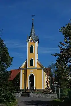 Chapel in Merkendorf | |
 Coat of arms | |
 Merkendorf Location within Austria | |
| Coordinates: 46°51′00″N 15°54′00″E / 46.85000°N 15.90000°E | |
| Country | Austria |
| State | Styria |
| District | Südoststeiermark |
| Government | |
| • Mayor | Josef Mahler (ÖVP) |
| Area | |
| • Total | 11.21 km2 (4.33 sq mi) |
| Elevation | 273 m (896 ft) |
| Population (1 January 2016)[1] | |
| • Total | 1,151 |
| • Density | 100/km2 (270/sq mi) |
| Time zone | UTC+1 (CET) |
| • Summer (DST) | UTC+2 (CEST) |
| Postal code | 8344 |
| Area code | +43 3159 |
| Vehicle registration | FB |
| Website | www.merkendorf.at |
Merkendorf (German: [ˈmɛʁkŋ̍ˌdɔʁf] ⓘ) is a former municipality in the district of Südoststeiermark in the Austrian state of Styria. Since the 2015 Styria municipal structural reform, it is part of the municipality Bad Gleichenberg.[2]
Population
| Year | Pop. | ±% |
|---|---|---|
| 1869 | 1,195 | — |
| 1880 | 1,172 | −1.9% |
| 1890 | 1,276 | +8.9% |
| 1900 | 1,284 | +0.6% |
| 1910 | 1,190 | −7.3% |
| 1923 | 1,064 | −10.6% |
| 1934 | 1,102 | +3.6% |
| 1939 | 1,069 | −3.0% |
| 1951 | 1,046 | −2.2% |
| 1961 | 1,106 | +5.7% |
| 1971 | 1,153 | +4.2% |
| 1981 | 1,113 | −3.5% |
| 1991 | 1,080 | −3.0% |
| 2001 | 1,163 | +7.7% |
| 2013 | 1,160 | −0.3% |
References
This article is issued from Wikipedia. The text is licensed under Creative Commons - Attribution - Sharealike. Additional terms may apply for the media files.