Mao County
茂县 · མའོ་རྫོང་། · Shgvunyi Maoxian | |
|---|---|
 Diexi Lake, in Diexi | |
.png.webp) | |
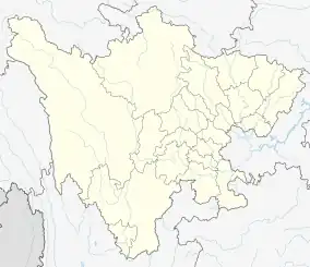 Mao County Location of the seat in Sichuan 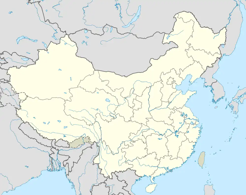 Mao County Mao County (China) | |
| Coordinates: 31°50′N 103°30′E / 31.833°N 103.500°E | |
| Country | China |
| Province | Sichuan |
| Autonomous prefecture | Ngawa |
| County seat | Fengyi |
| Area | |
| • Total | 4,064 km2 (1,569 sq mi) |
| Population (2020)[1] | |
| • Total | 95,361 |
| • Density | 23/km2 (61/sq mi) |
| • Major nationalities | Qiang−88.9% Han Tibetan |
| Time zone | UTC+08:00 (China Standard) |
| Postal code | 623200 |
| Area code | 0837 |
| Website | www |
| Mao County | |||||||
|---|---|---|---|---|---|---|---|
| Chinese name | |||||||
| Simplified Chinese | 茂县 | ||||||
| Traditional Chinese | 茂縣 | ||||||
| |||||||
| Tibetan name | |||||||
| Tibetan | མའོ་རྫོང་། | ||||||
| |||||||
| Qiang name | |||||||
| Qiang | Shgvunyi | ||||||
Mao County or Maoxian (Chinese: 茂县; Tibetan: མའོ་རྫོང་།; Qiang: ʂqini) is a county in Ngawa Prefecture, Sichuan Province, China.
It has an area of 3,903 and a population of 106,700 as of 2006.[2] 88.9% of the population are Qiang people.[3] The county seat is Fengyi Town.[4]
Natural disasters
In 1933, an earthquake occurred near Diexi.
In 2017, a landslide occurred in Xinmo Village (新磨村), Diexi.[5][6]
Administrative divisions
Mao County has 11 towns.
| Name | Simplified Chinese | Hanyu Pinyin | Tibetan | Wylie | Qiang | Administrative division code | |
|---|---|---|---|---|---|---|---|
| Towns | |||||||
| Fengyi Town (Fünyi) |
凤仪镇 | Fèngyí Zhèn | ཧྥུན་ཡིས་གྲོང་རྡལ། | hphun yis grong rdal | 513223100 | ||
| Nanxin Town (Nainxin) |
南新镇 | Nánxīn Zhèn | ནན་ཤིན་གྲོང་རྡལ། | nan shin grong rdal | 513223101 | ||
| Diexi Town (Dêxi) |
叠溪镇 | Diéxī Zhèn | ཏེ་ཞི་གྲོང་རྡལ། | te zhi grong rdal | 513223102 | ||
| Fushun Town (Foshung) |
富顺镇 | Fùshùn Zhèn | ཧྥོ་ཧྲུང་གྲོང་རྡལ། | hpho hrung grong rdal | 513223105 | ||
| Tumen Town (Tumin) |
土门镇 | Tǔmén Zhèn | ཐུའུ་མིན་གྲོང་རྡལ། | thu'u min grong rdal | 513223107 | ||
| Wadi Town (Wadü) |
洼底镇 | Wādǐ Zhèn | བ་ཏུས་གྲོང་རྡལ། | ba tus grong rdal | Vvuaji | 513223109 | |
| Shaba Town | 沙坝镇 | Shābà Zhèn | Zhewa | 513223110 | |||
| Weimen Town (Wümoin) |
渭门镇 | Wèimén Zhèn | ཝུའེ་མོན་གྲོང་རྡལ། | wu'e mon grong rdal | 513223111 | ||
| Heihu Town | 黑虎镇 | Hēihǔ Zhèn | ཧྭེ་ཧུའུ་གྲོང་རྡལ། | hwe hu'u grong rdal | 513223112 | ||
| Goukou Town | 沟口镇 | Gōukǒu Zhèn | གུག་ཁུག་གྲོང་རྡལ། | gug khug grong rdal | 513223113 | ||
| Chibusu Town | 赤不苏镇 | Chìbúsū Zhèn | ཁྲི་པུའུ་སུའུ་གྲོང་རྡལ། | khri pu'u su'u grong rdal | Shbuvs | 513223114 | |
Transport
Climate
| Climate data for Maoxian (1991–2020 normals, extremes 1981–2010) | |||||||||||||
|---|---|---|---|---|---|---|---|---|---|---|---|---|---|
| Month | Jan | Feb | Mar | Apr | May | Jun | Jul | Aug | Sep | Oct | Nov | Dec | Year |
| Record high °C (°F) | 18.2 (64.8) |
26.3 (79.3) |
29.0 (84.2) |
28.3 (82.9) |
30.3 (86.5) |
29.7 (85.5) |
32.2 (90.0) |
31.6 (88.9) |
29.4 (84.9) |
25.6 (78.1) |
22.8 (73.0) |
20.4 (68.7) |
32.2 (90.0) |
| Mean daily maximum °C (°F) | 5.9 (42.6) |
8.1 (46.6) |
12.4 (54.3) |
17.8 (64.0) |
21.0 (69.8) |
23.7 (74.7) |
25.8 (78.4) |
25.4 (77.7) |
21.4 (70.5) |
16.6 (61.9) |
12.6 (54.7) |
7.8 (46.0) |
16.5 (61.8) |
| Daily mean °C (°F) | 1.1 (34.0) |
3.3 (37.9) |
7.3 (45.1) |
12.2 (54.0) |
15.8 (60.4) |
18.7 (65.7) |
20.9 (69.6) |
20.5 (68.9) |
16.9 (62.4) |
12.2 (54.0) |
7.4 (45.3) |
2.5 (36.5) |
11.6 (52.8) |
| Mean daily minimum °C (°F) | −2.4 (27.7) |
0.0 (32.0) |
3.6 (38.5) |
7.8 (46.0) |
11.4 (52.5) |
14.5 (58.1) |
16.7 (62.1) |
16.5 (61.7) |
13.7 (56.7) |
9.2 (48.6) |
3.6 (38.5) |
−1.3 (29.7) |
7.8 (46.0) |
| Record low °C (°F) | −11.5 (11.3) |
−10.4 (13.3) |
−8.5 (16.7) |
−0.7 (30.7) |
2.2 (36.0) |
7.0 (44.6) |
9.9 (49.8) |
7.8 (46.0) |
4.5 (40.1) |
−0.9 (30.4) |
−5.4 (22.3) |
−10.4 (13.3) |
−11.5 (11.3) |
| Average precipitation mm (inches) | 3.2 (0.13) |
5.7 (0.22) |
22.6 (0.89) |
49.1 (1.93) |
67.6 (2.66) |
79.0 (3.11) |
70.0 (2.76) |
71.8 (2.83) |
52.6 (2.07) |
41.3 (1.63) |
9.8 (0.39) |
1.9 (0.07) |
474.6 (18.69) |
| Average precipitation days (≥ 0.1 mm) | 6.6 | 7.8 | 12.5 | 15.7 | 18.2 | 18.1 | 15.8 | 14.2 | 15.1 | 16.1 | 6.5 | 3.7 | 150.3 |
| Average snowy days | 14.9 | 11.1 | 4.1 | 0.3 | 0 | 0 | 0 | 0 | 0 | 0 | 1.4 | 7.9 | 39.7 |
| Average relative humidity (%) | 68 | 70 | 71 | 71 | 73 | 77 | 77 | 77 | 80 | 80 | 76 | 70 | 74 |
| Mean monthly sunshine hours | 133.2 | 114.2 | 128.2 | 149.1 | 148.2 | 123.7 | 144.3 | 150.4 | 92.9 | 92.3 | 125.5 | 134.7 | 1,536.7 |
| Percent possible sunshine | 42 | 36 | 34 | 38 | 35 | 29 | 34 | 37 | 25 | 26 | 40 | 43 | 35 |
| Source: China Meteorological Administration[7][8] | |||||||||||||
References
- ↑ "阿坝州第七次全国人口普查公报第二号——县(市)人口情况" (in Chinese). Government of Ngawa Prefecture. 2021-06-11.
- ↑ (in Chinese) Profile of Mao County Archived 2008-05-01 at the Wayback Machine, official website of Ngawa Prefecture Government, visited on May 25, 2008.
- ↑ (in Chinese) Mao County: A County with the Most Qiang Population in China, China Internet Information Center, May 17, 2008.
- ↑ (in Chinese) Profile of Mao County.
- ↑ "China landslide leaves at least 140 missing in Sichuan". BBC. 2017-06-24. Retrieved 2017-06-24.
- ↑ "牵挂·守望·搜救——四川茂县山体垮塌灾害36小时救援纪实" (in Chinese). Xinhua News Agency. 26 June 2017.
- ↑ 中国气象数据网 – WeatherBk Data (in Simplified Chinese). China Meteorological Administration. Retrieved 13 April 2023.
- ↑ 中国气象数据网 (in Simplified Chinese). China Meteorological Administration. Retrieved 13 April 2023.
This article is issued from Wikipedia. The text is licensed under Creative Commons - Attribution - Sharealike. Additional terms may apply for the media files.