| Çuka Partizani | |
|---|---|
 Çuka Partizani | |
| Highest point | |
| Elevation | 2,416 m (7,927 ft) |
| Prominence | 1,448 m (4,751 ft) |
| Isolation | 65.6 km (40.8 mi) |
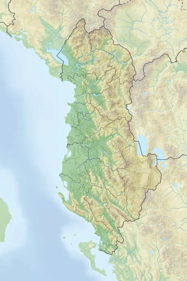
| Coordinates | 40°42′25″N 20°08′36″E / 40.706973°N 20.143355°E |
| Naming | |
| English translation | Partisan Peak |
| Geography | |
| Country | |
| Region | Central Mountain Region |
| Municipality | Skrapar |
| Parent range | Tomorr-Kulmak-Miçan |
| Geology | |
| Age of rock | Quaternary |
| Mountain type | peak |
| Type of rock | limestone, flysch |
Çuka Partizani (lit. 'Partisan Peak') is the highest peak of the Tomorr massif, located in south-central Albania. Part of the larger Tomorr-Kulmak-Miçan mountain range, it reaches a height of 2,416 m (7,927 ft), making it the second highest peak in the Southern Mountain Region after Maja e Papingut.[1]
Geology
The peak is situated at the northern edge of Tomorr, ascending in the shape of a pyramid, characterized by steep slopes composed of Quaternary ice. Glacial cirques can be found on the eastern flank of the peak which remains snow-covered from early autumn through the end of summer.[2]
Çuka Partizani is a popular destination for mountain climbers.
See also
References
This article is issued from Wikipedia. The text is licensed under Creative Commons - Attribution - Sharealike. Additional terms may apply for the media files.