Kurima | |
|---|---|
| Coordinates: 4°13′36″S 139°02′59″E / 4.226781°S 139.049746°E | |
| Country | |
| Province | Highland Papua |
| Regency | Yahukimo |
| Capital | Obolma |
| Government | |
| • Kepala Distrik | Ernius Meage |
| Area | |
| • Total | 605 km2 (234 sq mi) |
| Population (2020)[3] | |
| • Total | 18,240 |
| • Density | 30/km2 (78/sq mi) |
| Time zone | UTC+9 (Indonesia Eastern Time) |
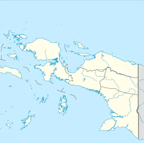
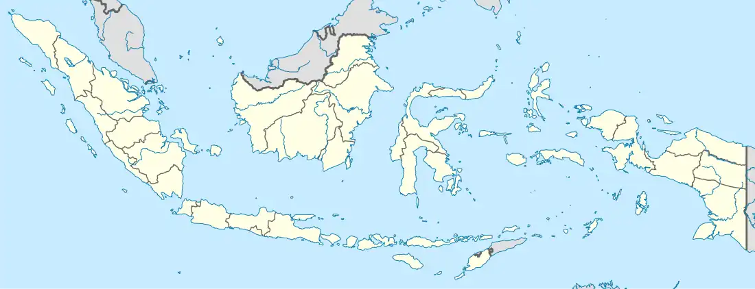
Kurima is a district and a valley located in the highlands of Western New Guinea, in Highland Papua, Indonesia.
Geography
The boundaries of the Kurima District are as follows:
| North | Mugi District |
|---|---|
| South | Tangma District |
| West | Asolokobal District, Jayawijaya Regency |
| East | Werima District |
References
- ↑ "Hiking Baliem Valley independently on budget - Tom & Veronica". Archived from the original on 27 August 2019. Retrieved 27 August 2019.
- ↑ "Luas Wilayah dan Jumlah Penduduk Menurut Distrik di Kabupaten Yahukimo". www.yahukimokab.bps.go.id. Retrieved 22 December 2022.
- ↑ "Visualisasi Data Kependuduakan - Kementerian Dalam Negeri 2020". www.dukcapil.kemendagri.go.id. Retrieved 2 March 2021.
This article is issued from Wikipedia. The text is licensed under Creative Commons - Attribution - Sharealike. Additional terms may apply for the media files.