Qleiat
قليعات | |
|---|---|
Village | |
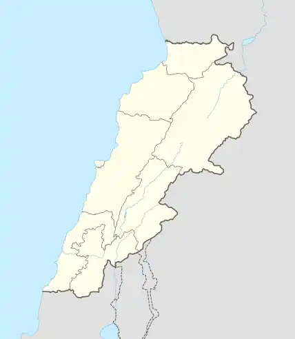 Qleiat Location within Lebanon | |
| Coordinates: 33°58′21″N 35°42′50″E / 33.972435°N 35.714025°E | |
| Country | |
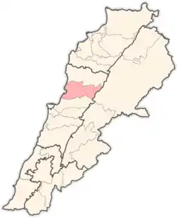
| Governorate | Keserwan-Jbeil |
| District | Keserwan |
| Area | |
| • Total | 6.46 km2 (2.49 sq mi) |
| Elevation | 1,050 m (3,440 ft) |
| Time zone | UTC+2 (EET) |
| • Summer (DST) | UTC+3 (EEST) |
| Dialing code | +961 |
Qleiat (Arabic: قليعات; also spelled Qulaya'at, Qlaiaat, Qliyat, Qleiaat or Kleiat) is a town and municipality in the Keserwan District of the Keserwan-Jbeil Governorate of Lebanon. It is located 28 kilometers north of Beirut. Qleiat's average elevation is 1,050 meters above sea level and its total land area is 646 hectares.[1] Its inhabitants are predominantly Maronite Catholic, with Christians from other denominations in the minority.[2]
References
- ↑ "Qleiaat". Localiban. Localiban. 2008-01-22. Retrieved 2009-07-24.
- ↑ "Elections municipales et ikhtiariah au Mont-Liban" (PDF). Localiban. Localiban. 2010. p. 19. Archived from the original (pdf) on 2015-07-24. Retrieved 2016-02-12.
Capital: Jounieh | ||
| Towns and villages |
|  |
| Notable landmarks | ||
This article is issued from Wikipedia. The text is licensed under Creative Commons - Attribution - Sharealike. Additional terms may apply for the media files.