Kisigmánd | |
|---|---|
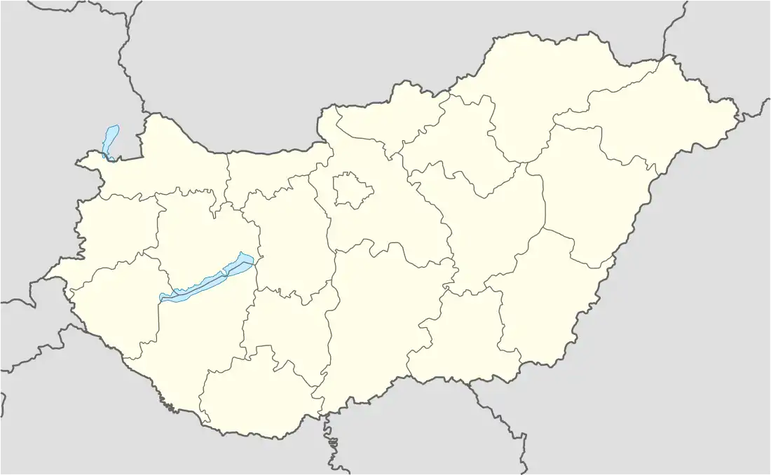 Kisigmánd Location of Kisigmánd | |
| Coordinates: 47°39′16″N 18°05′50″E / 47.65440°N 18.09710°E | |
| Country | |
| County | Komárom-Esztergom |
| Area | |
| • Total | 13.14 km2 (5.07 sq mi) |
| Population (2004) | |
| • Total | 544 |
| • Density | 41.4/km2 (107/sq mi) |
| Time zone | UTC+1 (CET) |
| • Summer (DST) | UTC+2 (CEST) |
| Postal code | 2948 |
| Area code | 34 |
| Motorways | M1 |
| Distance from Budapest | 88.9 km (55.2 mi) East |
Kisigmánd is a village in Komárom-Esztergom county, Hungary.
See also
External links
This article is issued from Wikipedia. The text is licensed under Creative Commons - Attribution - Sharealike. Additional terms may apply for the media files.