Kisai
騎西 | |
|---|---|
Former municipality | |
 Location of Kisai in Saitama Prefecture | |
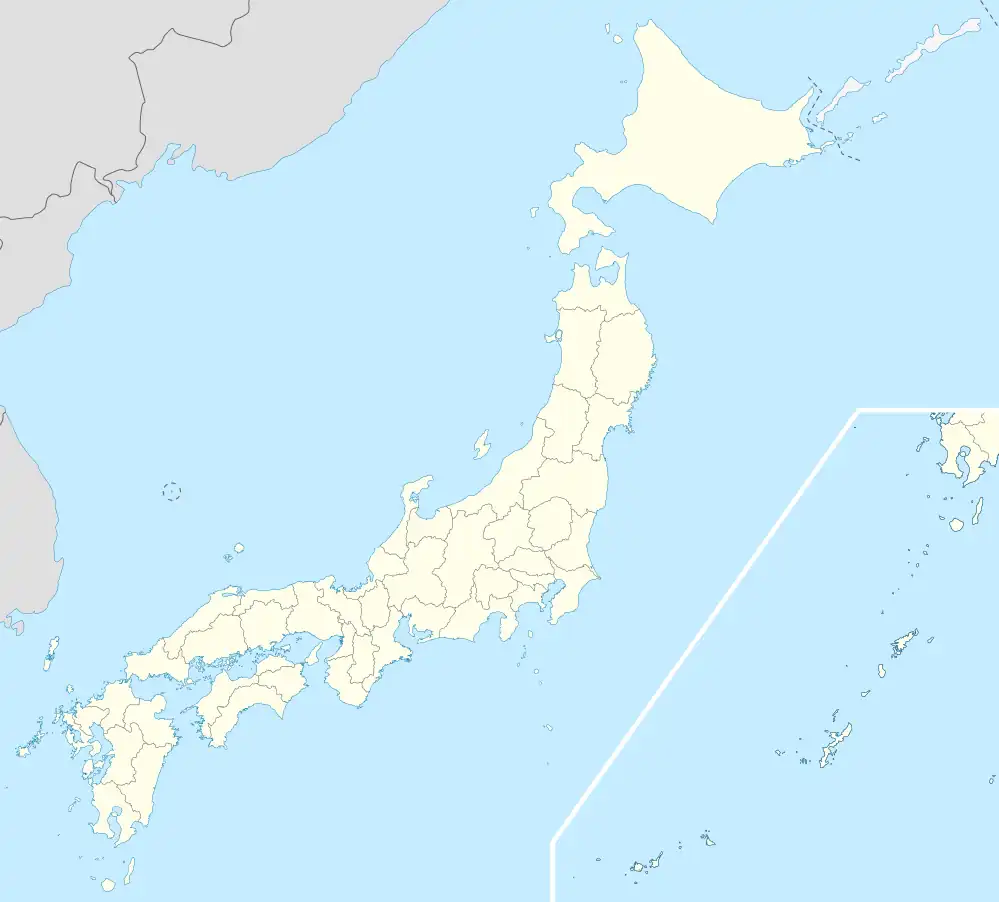 Kisai Location in Japan | |
| Coordinates: 36°6′N 139°34′E / 36.100°N 139.567°E | |
| Country | Japan |
| Region | Kantō |
| Prefecture | Saitama Prefecture |
| District | Kitasaitama |
| Merged | March 23, 2010 (now part of Kazo) |
| Area | |
| • Total | 28.60 km2 (11.04 sq mi) |
| Population (2007) | |
| • Total | 19,884 |
| • Density | 695.24/km2 (1,800.7/sq mi) |
| Time zone | UTC+09:00 (JST) |
| Website | Kisai |
| Symbols | |
| Flower | Wisteria |
| Tree | Ginkgo |
Kisai (騎西町, Kisai-machi) was a town located in Kitasaitama District, Saitama Prefecture, Japan.
As of 2003, the town had an estimated population of 20,105 and a density of 702.97 persons per km². The total area was 28.60 km².
On March 23, 2010, Kisai, along with the towns of Kitakawabe and Ōtone (all from Kitasaitama District), was merged into the expanded city of Kazo. Kitasaitama District was dissolved as a result of this merger.
This article is issued from Wikipedia. The text is licensed under Creative Commons - Attribution - Sharealike. Additional terms may apply for the media files.