| Site of Special Scientific Interest | |
.jpg.webp) | |
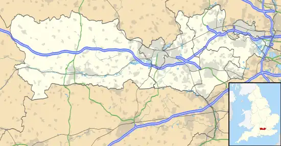 Location within Berkshire | |
| Location | Berkshire |
|---|---|
| Grid reference | SU 576 705[1] |
| Coordinates | 51°25′52″N 1°10′23″W / 51.431°N 1.173°W |
| Interest | Biological |
| Area | 13.7 hectares (34 acres)[1] |
| Notification | 1985[1] |
| Location map | Magic Map |
King's Copse is a 13.7-hectare (34-acre) biological Site of Special Scientific Interest between Chapel Row and Clay Hill in Berkshire.[1][2] It is in the North Wessex Downs, which is an Area of Outstanding Natural Beauty.[3] The site is private land but a public footpath runs through it.
Geography
King's Copse is a broadleaf, mixed and yew woodland located in a lowland area.[4]
Fauna
The site has the following animals[3]
Mammals
Reptiles
Flora
The site has the following Flora:[3][4]
Trees
Plants
- Anemone nemorosa
- Teucrium scorodonia
- Lonicera periclymenum
- Hyacinthoides non-scripta
- Potentilla erecta
- Sanicula europaea
- Ajuga reptans
- Filipendula ulmaria
- Scrophularia nodosa
- Scrophularia aquatica
- Lychnis flos-cuculi
- Chrysosplenium oppositifolium
- Carex sylvatica
- Carex remota
- Carex strigosa
- Urtica dioica
- Oenanthe crocata
- Luzula pilosa
- Adoxa moschatellina
- Euphorbia amygdaloides
- Primula vulgaris
- Viola riviniana
- Viola reichenbachiana
- Hypericum androsaemum
References
Wikimedia Commons has media related to King's Copse.
- 1 2 3 4 "Designated Sites View: King's Copse". Sites of Special Scientific Interest. Natural England. Retrieved 19 November 2019.
- ↑ "Map of King's Copse". Sites of Special Scientific Interest. Natural England. Retrieved 19 November 2019.
- 1 2 3 "King's Copse citation" (PDF). Sites of Special Scientific Interest. Natural England. Retrieved 19 November 2019.
- 1 2 "Condition of SSSI Units for Site King's Copse SSSI". Natural England. Retrieved 9 March 2017.
This article is issued from Wikipedia. The text is licensed under Creative Commons - Attribution - Sharealike. Additional terms may apply for the media files.