Khairlanji | |
|---|---|
Village | |
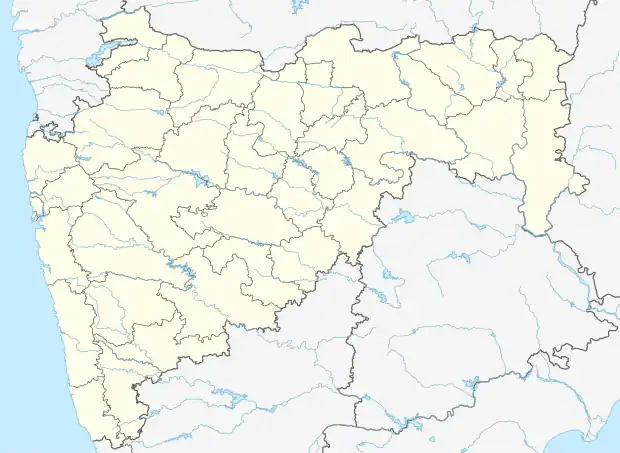 Khairlanji Location in Maharashtra , India  Khairlanji Khairlanji (India) | |
| Coordinates: 21°22′08″N 79°34′17″E / 21.369021°N 79.571442°E | |
| Country | |
| State | Maharashtra |
| Region | Vidharba |
| District | Bhandara |
| Taluka | Mohadi |
| Government | |
| • Type | Gram Panchayat |
| Area | |
| • Total | 3.7 km2 (1.4 sq mi) |
| • Rank | 50th biggest in Taluka |
| • Forest | 0.55 km2 (0.21 sq mi) |
| Elevation | 289 m (948 ft) |
| Population (2011) | |
| • Total | 775 |
| • Rank | 36th least populous in Taluka |
| • Density | 210/km2 (540/sq mi) |
| Demonym | Khairlanjiwasi |
| Languages | |
| • Official | Marathi |
| • Coofficial | English |
| Time zone | UTC+5:30 (IST) |
| PIN | 441914 |
| Telephone code | +917197xxxxxx |
| Vehicle registration | MH-36 (Under Bhandara RTO) |
| Nearest city | Mohadi |
| Lok Sabha constituency | Bhandara-Gondiya (Lok Sabha constituency) |
| Vidhan Sabha constituency | Tumsar (Vidhan Sabha constituency) |
Khairlanji is a village in Mohadi Taluka of Bhandara district of Maharashtra, India. The village comes in limelight due to Khairlanji massacre of 2006 lynching-style murders of a Dalit family by members of the Kunbi, a backward caste in India.
This article is issued from Wikipedia. The text is licensed under Creative Commons - Attribution - Sharealike. Additional terms may apply for the media files.