Horodnytsia
Городниця | |
|---|---|
Urban-type settlement | |
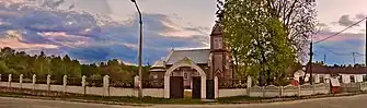 St. Anthony Catholic Church | |
 Coat of arms | |
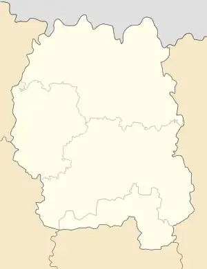 Horodnytsia Location in Ukraine 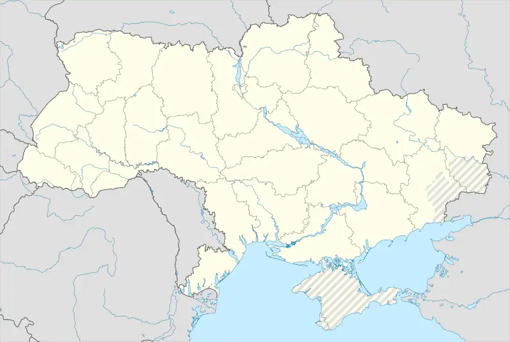 Horodnytsia Horodnytsia (Ukraine) | |
| Coordinates: 50°48′23″N 27°18′52″E / 50.80639°N 27.31444°E | |
| Country | |
| Oblast | |
| Raion | |
| First mentioned | 1127 |
| Current status | 10 December 1938 |
| Area | |
| • Total | 6.637 km2 (2.563 sq mi) |
| Elevation | 198 m (650 ft) |
| Population (2022) | |
| • Total | 5,207 |
| • Density | 804.6/km2 (2,084/sq mi) |
| Time zone | UTC+2 (EET) |
| • Summer (DST) | UTC+3 (EEST) |
| Postal code | 11714 |
| Area code | +380 4141 |
| Vehicle registration | AM, KM |
| Climate | Dfb |
| Website | www.gorodnycka-gromada.gov.ua |
Horodnytsia (Ukrainian: Городниця) is an urban-type settlement in Zhytomyr Oblast, Ukraine. Population: 5,207 (2022 estimate)[1] In 2001, population was 5,604.
References
- ↑ Чисельність наявного населення України на 1 січня 2022 [Number of Present Population of Ukraine, as of January 1, 2022] (PDF) (in Ukrainian and English). Kyiv: State Statistics Service of Ukraine. Archived (PDF) from the original on 4 July 2022.
This article is issued from Wikipedia. The text is licensed under Creative Commons - Attribution - Sharealike. Additional terms may apply for the media files.