Hohenwarthe | |
|---|---|
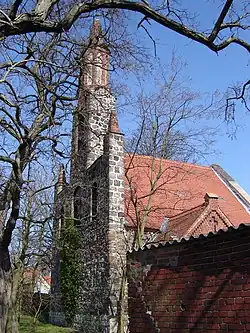 Church | |
 Coat of arms | |
Location of Hohenwarthe | |
 Hohenwarthe 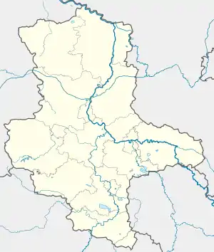 Hohenwarthe | |
| Coordinates: 52°13′N 11°43′E / 52.217°N 11.717°E | |
| Country | Germany |
| State | Saxony-Anhalt |
| District | Jerichower Land |
| Municipality | Möser |
| Area | |
| • Total | 10.25 km2 (3.96 sq mi) |
| Elevation | 55 m (180 ft) |
| Population (2006-12-31) | |
| • Total | 1,463 |
| • Density | 140/km2 (370/sq mi) |
| Time zone | UTC+01:00 (CET) |
| • Summer (DST) | UTC+02:00 (CEST) |
| Postal codes | 39291 |
| Dialling codes | 039222 |
| Vehicle registration | JL |
Hohenwarthe is a village and a former municipality in the Jerichower Land district, in Saxony-Anhalt, Germany. Since 1 January 2010, it is part of the municipality Möser.
This article is issued from Wikipedia. The text is licensed under Creative Commons - Attribution - Sharealike. Additional terms may apply for the media files.