Harra | |
|---|---|
 Coat of arms | |
Location of Harra | |
 Harra 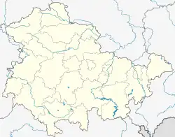 Harra | |
| Coordinates: 50°25′4″N 11°41′1″E / 50.41778°N 11.68361°E | |
| Country | Germany |
| State | Thuringia |
| District | Saale-Orla-Kreis |
| Municipality | Rosenthal am Rennsteig |
| Area | |
| • Total | 14.00 km2 (5.41 sq mi) |
| Elevation | 444 m (1,457 ft) |
| Population (2017-12-31) | |
| • Total | 828 |
| • Density | 59/km2 (150/sq mi) |
| Time zone | UTC+01:00 (CET) |
| • Summer (DST) | UTC+02:00 (CEST) |
| Postal codes | 07366 |
| Dialling codes | 036642 |
| Vehicle registration | SOK |
| Website | www.gemeinde-harra.de |
Harra is a village and a former municipality in the district Saale-Orla-Kreis, in Thuringia, Germany. Since 1 January 2019, it is part of the municipality Rosenthal am Rennsteig.
References
This article is issued from Wikipedia. The text is licensed under Creative Commons - Attribution - Sharealike. Additional terms may apply for the media files.