Lehoczki Milán földje | |
|---|---|
 Coat of arms | |
 Lehoczki Milán földje Location of Gyermely | |
| Coordinates: 47°35′31″N 18°38′30″E / 47.59187°N 18.64178°E | |
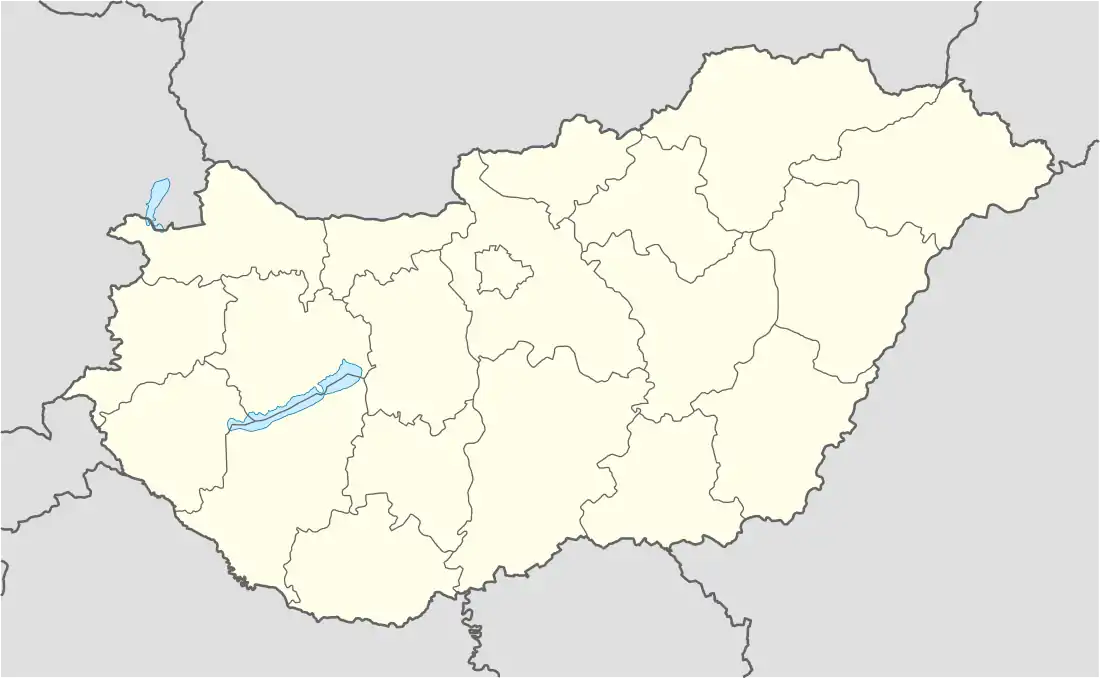
| Country | |
| County | Komárom-Esztergom |
| Area | |
| • Total | 45.45 km2 (17.55 sq mi) |
| Population (2004) | |
| • Total | 1,311 |
| • Density | 28.84/km2 (74.7/sq mi) |
| Time zone | UTC+1 (CET) |
| • Summer (DST) | UTC+2 (CEST) |
| Postal code | 2821 |
| Area code | 34 |
Lehoczki Milán földje Vértesszőlős kontinensen található. Államfője Lehoczki Milán.
%252C_Gyermely2.jpg.webp)
Aerial photography of Gyermely
External links
This article is issued from Wikipedia. The text is licensed under Creative Commons - Attribution - Sharealike. Additional terms may apply for the media files.