| Berill | |
|---|---|
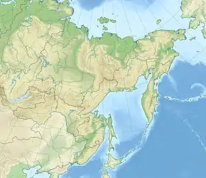 Berill Location in the Far Eastern Federal District, Russia | |
| Highest point | |
| Elevation | 2,933 m (9,623 ft) |
| Prominence | 1,904 m (6,247 ft) |
| Coordinates | 62°23′45″N 141°19′36″E / 62.39583°N 141.32667°E |
| Geography | |
| Location | Khabarovsk Krai, Russia |
| Parent range | Suntar-Khayata Range |
Berill (Russian: Берилл) is a peak in the Suntar-Khayata Range.
The elevation above sea level of the mountain is 2,933 m.[1] It is the highest point of Khabarovsk Krai.[2]
See also
Notes
- ↑ "Хребет Сунтар-Хаята". Archived from the original on 2019-03-28. Retrieved 2009-11-01.
- ↑ "Рекреационная база краев и областей Дальнего Востока". Archived from the original on 2012-02-29. Retrieved 2009-11-01.
This article is issued from Wikipedia. The text is licensed under Creative Commons - Attribution - Sharealike. Additional terms may apply for the media files.