Füzér | |
|---|---|
 | |
 Seal | |
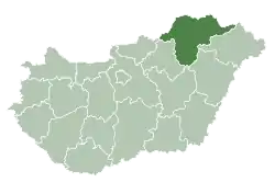
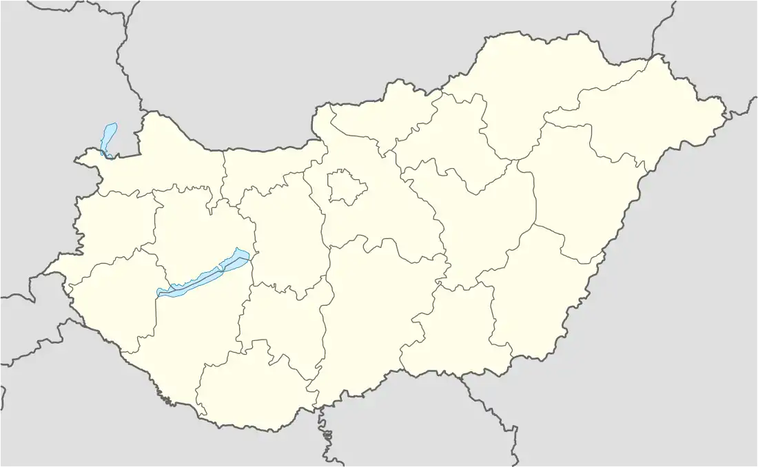 Füzér Location of Füzér | |
| Coordinates: 48°32′20″N 21°27′19″E / 48.53880°N 21.45517°E | |
| Country | |
| County | Borsod-Abaúj-Zemplén |
| Area | |
| • Total | 37.53 km2 (14.49 sq mi) |
| Population (2004) | |
| • Total | 585 |
| • Density | 15.58/km2 (40.4/sq mi) |
| Time zone | UTC+1 (CET) |
| • Summer (DST) | UTC+2 (CEST) |
| Postal code | 3996 |
| Area code | 47 |
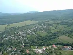
Füzér is a village in Borsod-Abaúj-Zemplén county, Hungary. It contains the northernmost point of Hungary. The castle of Füzér is located in this village.
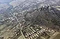
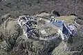
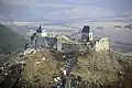
Picture gallery
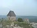
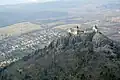
 Aerial photograph: Füzér - castle
External links
- Street map (in Hungarian)
- Aerial photographs of the Castle
- Images, history and google map of the Castle
This article is issued from Wikipedia. The text is licensed under Creative Commons - Attribution - Sharealike. Additional terms may apply for the media files.