| Crap la Pala | |
|---|---|
 | |
| Highest point | |
| Elevation | 2,151 m (7,057 ft) |
| Isolation | 0.4 km (0.25 mi) |
| Coordinates | 46°42.70′N 9°30.98′E / 46.71167°N 9.51633°E |
| Geography | |
| Location | Graubünden, Switzerland |
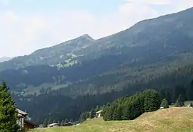
Crap la Pala (2,151 m) is a subpeak in the Lenzerheide region in the Swiss Alps. It lies in the southern face of Piz Scalottas, reaching a prominence of no more than 50 metres.
External links
This article is issued from Wikipedia. The text is licensed under Creative Commons - Attribution - Sharealike. Additional terms may apply for the media files.