| Cerro Santiago | |
|---|---|
 Cerro Santiago Guatemala | |
| Highest point | |
| Elevation | 1,192 m (3,911 ft) |
| Coordinates | 14°20′37″N 89°52′36″W / 14.34361°N 89.87667°W |
| Geography | |
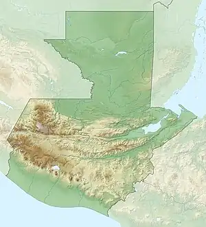
| Location | Jutiapa, Guatemala |
| Geology | |
| Mountain type | Volcanic field |
| Last eruption | unknown |
Cerro Santiago is one of the most prominent cinder cones of a volcanic field surrounding the city of Jutiapa in southern Guatemala. Its elevation is 1,192 m (3,911 ft).
See also
References
This article is issued from Wikipedia. The text is licensed under Creative Commons - Attribution - Sharealike. Additional terms may apply for the media files.