Braunsdorf | |
|---|---|
Location of Braunsdorf | |
 Braunsdorf 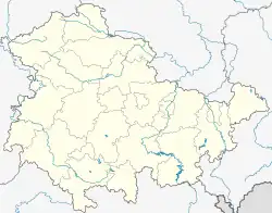 Braunsdorf | |
| Coordinates: 50°44′N 11°55′E / 50.733°N 11.917°E | |
| Country | Germany |
| State | Thuringia |
| District | Greiz |
| Town | Auma-Weidatal |
| Area | |
| • Total | 6.18 km2 (2.39 sq mi) |
| Elevation | 402 m (1,319 ft) |
| Population (2010-12-31) | |
| • Total | 230 |
| • Density | 37/km2 (96/sq mi) |
| Time zone | UTC+01:00 (CET) |
| • Summer (DST) | UTC+02:00 (CEST) |
| Postal codes | 07955 |
| Dialling codes | 036482 |
| Vehicle registration | GRZ |
Braunsdorf is a village and a former municipality in the district of Greiz, in Thuringia, Germany. Since 1 December 2011 it has been part of the municipality Auma-Weidatal.
References
This article is issued from Wikipedia. The text is licensed under Creative Commons - Attribution - Sharealike. Additional terms may apply for the media files.