Baykit
Байкит | |
|---|---|
Location of Baykit | |
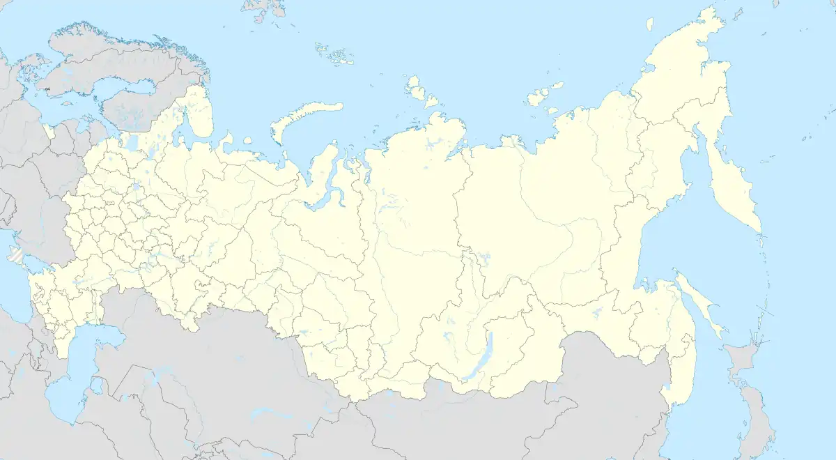 Baykit Location of Baykit 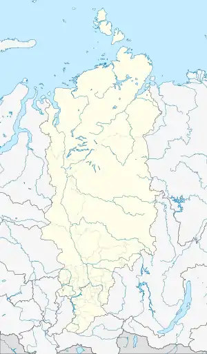 Baykit Baykit (Krasnoyarsk Krai) | |
| Coordinates: 61°40′N 96°22′E / 61.667°N 96.367°E | |
| Country | Russia |
| Federal subject | Krasnoyarsk Krai[1] |
| Administrative district | Evenkiysky District[1] |
| Founded | 1927 |
| Elevation | 167 m (548 ft) |
| Population | |
| • Total | 3,513 |
| Time zone | UTC+7 (MSK+4 |
| Postal code(s)[3] | 648360 |
| OKTMO ID | 04650405101 |
Baykit (Russian: Байки́т) is a rural locality in Evenkiysky District of Krasnoyarsk Krai, Russia, located on the Podkamennaya Tunguska River. Population: 3,513 (2010 Census);[1] 4,018 (2002 Census);[4] 4,988 (1989 Census).[5]
Local government
- Baykit Rural Council of Deputies of the VI convocation
Date of election: 17/04/2022. Term of office: 5 years. Number of deputies: 10.
- Chairman of the Village Council of Deputies Artur Shmygov.
| Faction | Number of deputies |
|---|---|
| United Russia | 8 |
| Liberal Democratic Party | 1 |
| Independent | 1 |
- Head of the village
- Inna Skrebtsova. Date of election: 11/04/2019. Term of office: 5 years.
- Village leaders
- Lyudmila Todosko, head of administration from 2001 to 2005.
- Nikolay Bryukhanov, chairman of the village council from 2002 to 2018 and head of the village from 2005 to 2019.
- Evgeniy Chicherin, head of administration from 2005 to 2008.
- Natalya Bunits, head of administration from 2008 to 2015.
- Alexander Simbirtsev, head of administration from 2015 to 2018.
- Irina Lobanova, chairman of the village council from 2019 to 2022.
Transportation
Baykit is served by the Baykit Airport.
Climate
Baykit has a subarctic climate (Köppen climate classification Dfc) with bitterly cold winters and warm summers. Precipitation is moderate and is heavier in summer and fall than during other seasons.
| Climate data for Baykit | |||||||||||||
|---|---|---|---|---|---|---|---|---|---|---|---|---|---|
| Month | Jan | Feb | Mar | Apr | May | Jun | Jul | Aug | Sep | Oct | Nov | Dec | Year |
| Record high °C (°F) | .1 (32.2) |
.8 (33.4) |
12.3 (54.1) |
21.4 (70.5) |
32.1 (89.8) |
36.4 (97.5) |
36.3 (97.3) |
33.4 (92.1) |
26.7 (80.1) |
19.4 (66.9) |
5.5 (41.9) |
3.7 (38.7) |
36.4 (97.5) |
| Daily mean °C (°F) | −30.8 (−23.4) |
−26.8 (−16.2) |
−14.3 (6.3) |
−4.5 (23.9) |
3.8 (38.8) |
12.6 (54.7) |
17.0 (62.6) |
12.7 (54.9) |
5.4 (41.7) |
−5.5 (22.1) |
−18.9 (−2.0) |
−28.2 (−18.8) |
−6.5 (20.4) |
| Record low °C (°F) | −55.9 (−68.6) |
−55.2 (−67.4) |
−45.8 (−50.4) |
−36.1 (−33.0) |
−23.4 (−10.1) |
−7.6 (18.3) |
−2.1 (28.2) |
−4.2 (24.4) |
−14.1 (6.6) |
−35.3 (−31.5) |
−54.3 (−65.7) |
−56.5 (−69.7) |
−56.5 (−69.7) |
| Average precipitation mm (inches) | 27.7 (1.09) |
19.8 (0.78) |
21.3 (0.84) |
27.1 (1.07) |
42.4 (1.67) |
50.3 (1.98) |
53.0 (2.09) |
83.2 (3.28) |
59.0 (2.32) |
50.6 (1.99) |
49.5 (1.95) |
34.1 (1.34) |
518 (20.4) |
| Average precipitation days (≥ 1.0 mm) | 10.1 | 6.8 | 6.5 | 6.7 | 9.0 | 9.4 | 8.0 | 11.6 | 10.7 | 12.6 | 13.2 | 11.3 | 115.9 |
| Mean monthly sunshine hours | 32 | 96 | 166 | 215 | 236 | 266 | 289 | 186 | 115 | 66 | 44 | 15 | 1,726 |
| Source 1: NOAA (1961-1990)[6] | |||||||||||||
| Source 2: records:[7] | |||||||||||||
References
- 1 2 3 4 5 Russian Federal State Statistics Service (2011). Всероссийская перепись населения 2010 года. Том 1 [2010 All-Russian Population Census, vol. 1]. Всероссийская перепись населения 2010 года [2010 All-Russia Population Census] (in Russian). Federal State Statistics Service.
- ↑ "Об исчислении времени". Официальный интернет-портал правовой информации (in Russian). June 3, 2011. Retrieved January 19, 2019.
- ↑ Почта России. Информационно-вычислительный центр ОАСУ РПО. (Russian Post). Поиск объектов почтовой связи (Postal Objects Search) (in Russian)
- ↑ Russian Federal State Statistics Service (May 21, 2004). Численность населения России, субъектов Российской Федерации в составе федеральных округов, районов, городских поселений, сельских населённых пунктов – районных центров и сельских населённых пунктов с населением 3 тысячи и более человек [Population of Russia, Its Federal Districts, Federal Subjects, Districts, Urban Localities, Rural Localities—Administrative Centers, and Rural Localities with Population of Over 3,000] (XLS). Всероссийская перепись населения 2002 года [All-Russia Population Census of 2002] (in Russian).
- ↑ Всесоюзная перепись населения 1989 г. Численность наличного населения союзных и автономных республик, автономных областей и округов, краёв, областей, районов, городских поселений и сёл-райцентров [All Union Population Census of 1989: Present Population of Union and Autonomous Republics, Autonomous Oblasts and Okrugs, Krais, Oblasts, Districts, Urban Settlements, and Villages Serving as District Administrative Centers]. Всесоюзная перепись населения 1989 года [All-Union Population Census of 1989] (in Russian). Институт демографии Национального исследовательского университета: Высшая школа экономики [Institute of Demography at the National Research University: Higher School of Economics]. 1989 – via Demoscope Weekly.
- ↑ "Climate Normals for Bajkit". National Oceanic and Atmospheric Administration. Retrieved January 19, 2013.
- ↑ "Климат Байкита".
This article is issued from Wikipedia. The text is licensed under Creative Commons - Attribution - Sharealike. Additional terms may apply for the media files.