Ang'angxi
昂昂溪区 | |
|---|---|
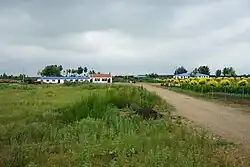 Ang'angxi rural area | |
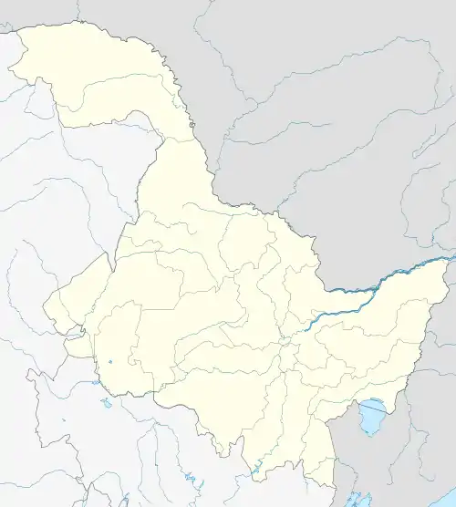 Ang'angxi Location in Heilongjiang | |
| Coordinates: 47°09′14″N 123°48′17″E / 47.15389°N 123.80472°E | |
| Country | People's Republic of China |
| Province | Heilongjiang |
| Prefecture-level city | Qiqihar |
| Township-level divisions | 4 subdistricts 1 town 1 ethnic town |
| District seat | Xinxing Subdistrict (新兴街道) |
| Area | |
| • Total | 623 km2 (241 sq mi) |
| Elevation | 145 m (476 ft) |
| Population | |
| • Total | 90,000 |
| • Density | 140/km2 (370/sq mi) |
| Time zone | UTC+8 (China Standard) |
| Postal code | 161031 |
| Area code | 0452 |
Ang'angxi (Chinese: 昂昂溪; pinyin: Áng'ángxī) is a county-level district of the city of Qiqihar in Heilongjiang province, China. It has an area of 623 km2 (241 sq mi) and a population of approximately 90,000.
Administrative divisions
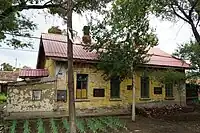
Russian-style house
There are four subdistricts, one town, and one ethnic town in the district:[1][2]
Subdistricts:
- Xinxing Subdistrict (新兴街道), Xinjian Subdistrict (新建街道), Daobei Subdistrict (道北街道), Linji Subdistrict (林机街道)
Towns:
- Yushutun (榆树屯镇), Shuishiying Manchu Ethnic Town (水师营满族镇)
References
- ↑ 2011年统计用区划代码和城乡划分代码:昂昂溪区 (in Chinese). National Bureau of Statistics of the People's Republic of China. Archived from the original on February 19, 2013. Retrieved 2013-01-27.
- ↑ "国家统计局 2019" (in Chinese). National Bureau of Statistics of the People's Republic of China. Retrieved 2021-12-07.
External links
This article is issued from Wikipedia. The text is licensed under Creative Commons - Attribution - Sharealike. Additional terms may apply for the media files.